01 · Core Module
Field Management
Manage all your fields from a single digital hub. Record planting, irrigation, fertilization, and harvest operations. Compare with previous seasons to optimize next-season planning.
Fields12HubOne
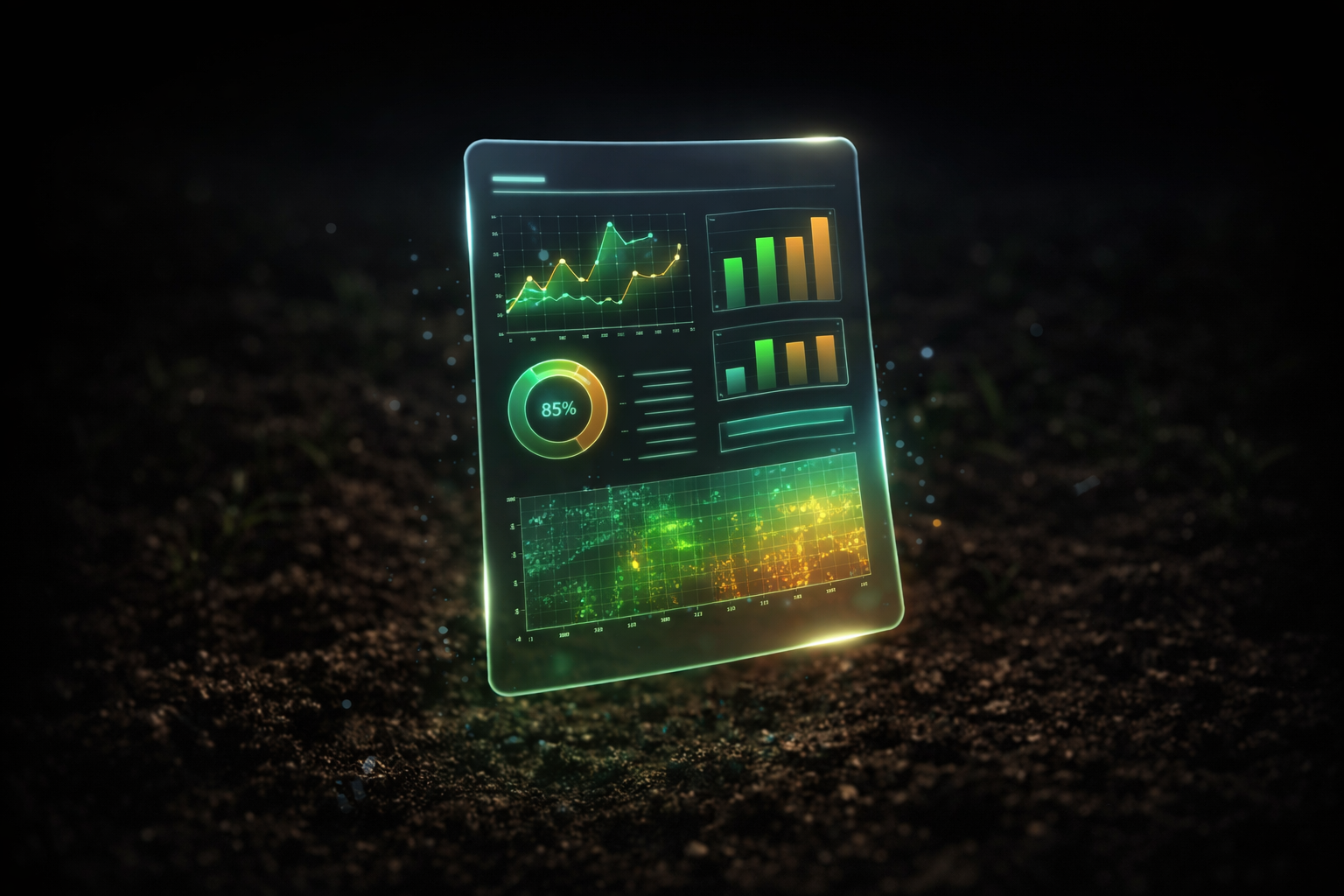
Track plant growth, stress, water status, and critical changes with data-driven insights; manage the season with greater control.
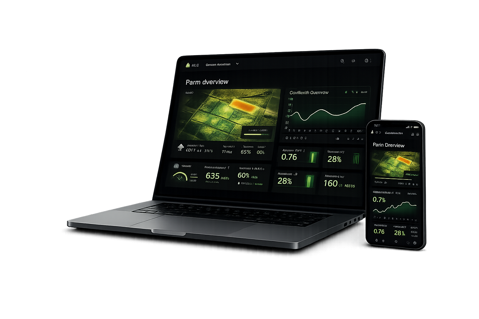
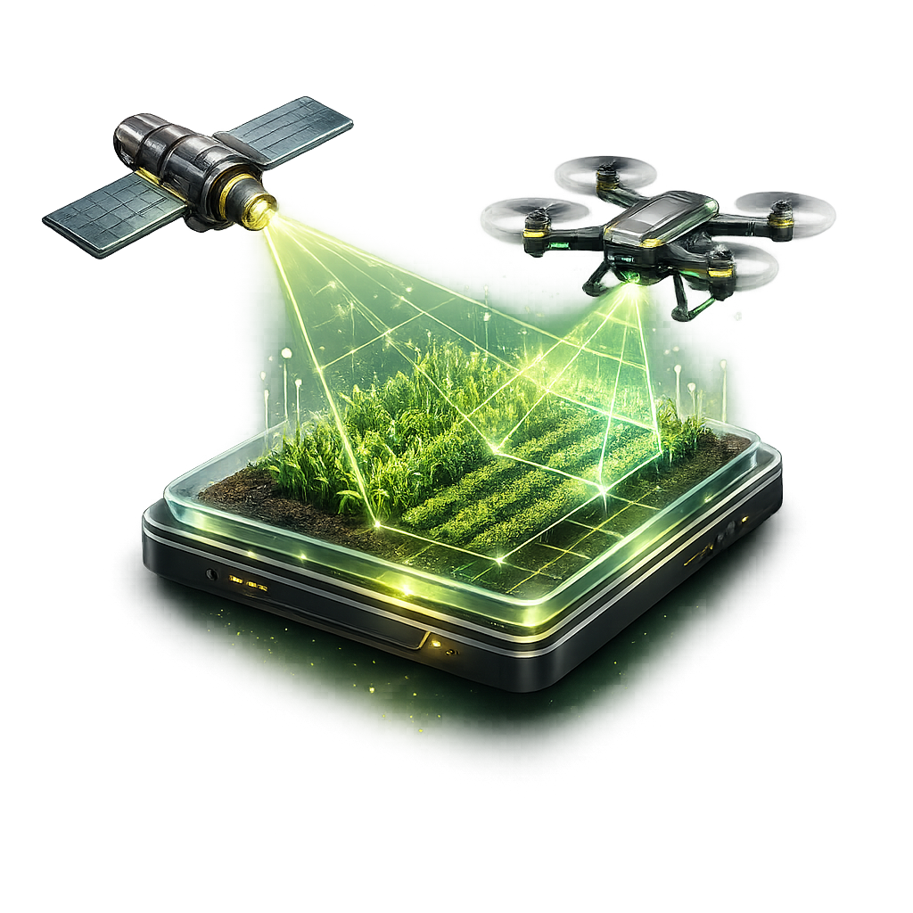
Get continuous, high-resolution visibility with satellite and drone data.
Satellite + Drone
AI models process the data so stress, anomalies, and risks become visible fast.
Artificial Intelligence
Act in time with targeted early warnings before risks escalate.
Early Warning01 · Core Module
Manage all your fields from a single digital hub. Record planting, irrigation, fertilization, and harvest operations. Compare with previous seasons to optimize next-season planning.
02 · Consulting
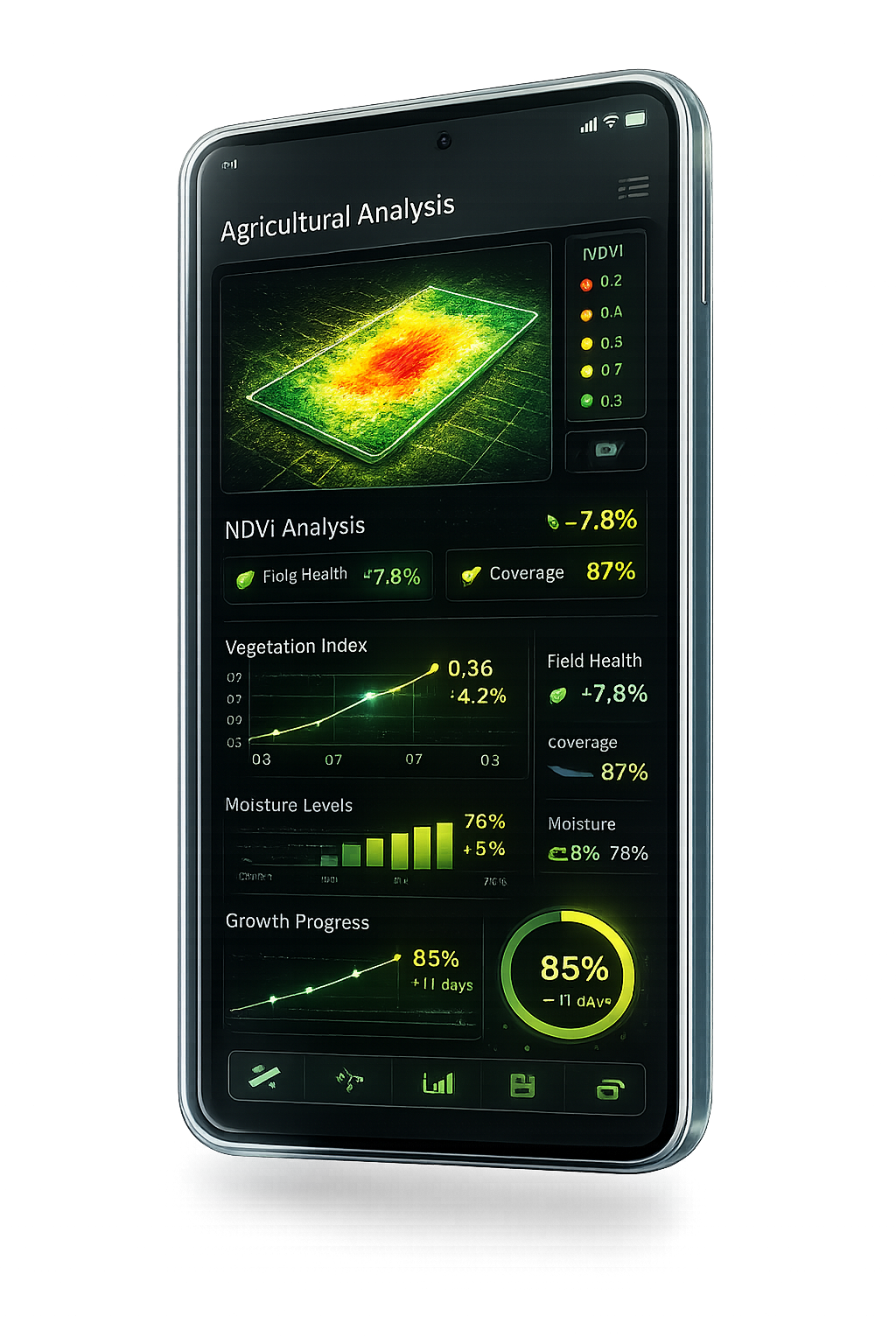
Not just data—actionable insights. View field-specific detailed PDF reports including soil conditions, plant health maps (NDVI), and yield estimates.
03 · AI
Accelerate operations with automations across channels. Streamline call routing, automated email flows, and repetitive tasks with chatbots and integrations.
04 · Early Warning
Track growth stages day by day using satellite imagery and advanced phenology models. Detect growth delays, disease risks, and water stress early to prevent yield loss.
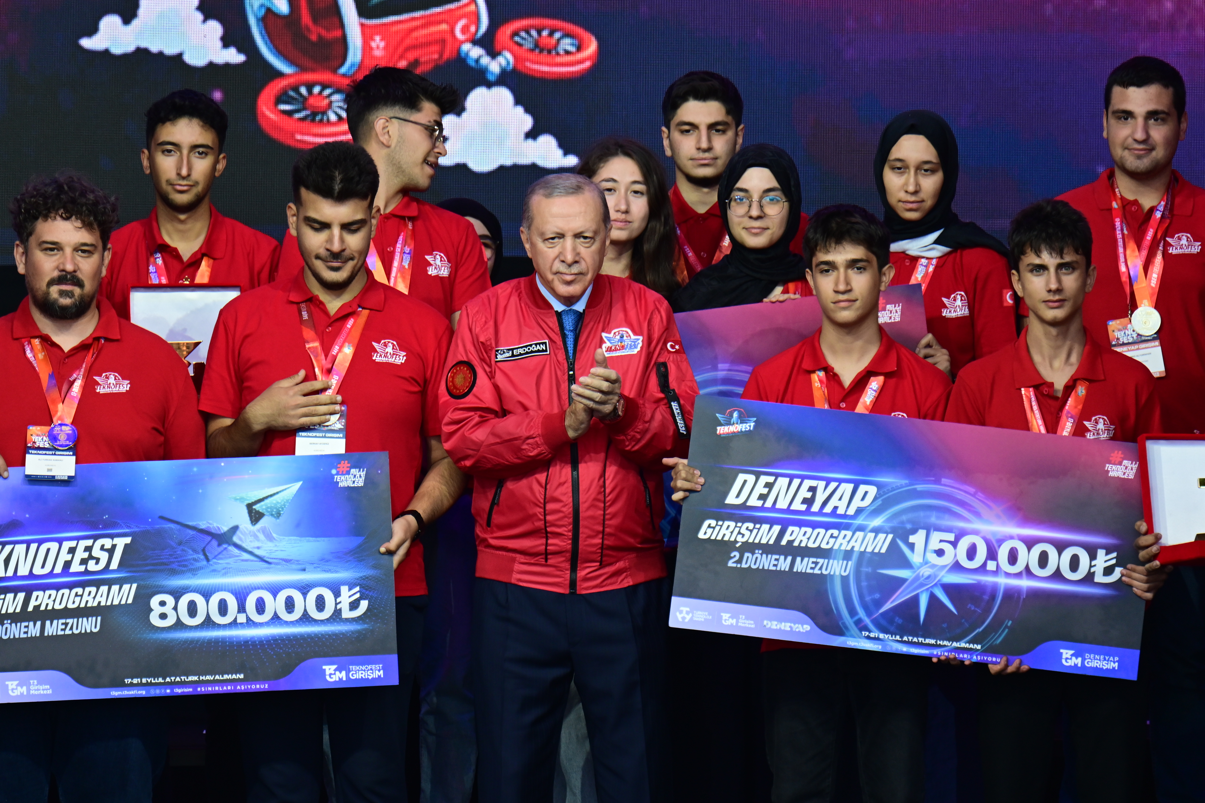
Agrovech was recognized at TEKNOFEST 2025 for its locally developed agricultural technologies. This achievement is a strong signal of our ability to build practical, measurable solutions grounded in real field needs.
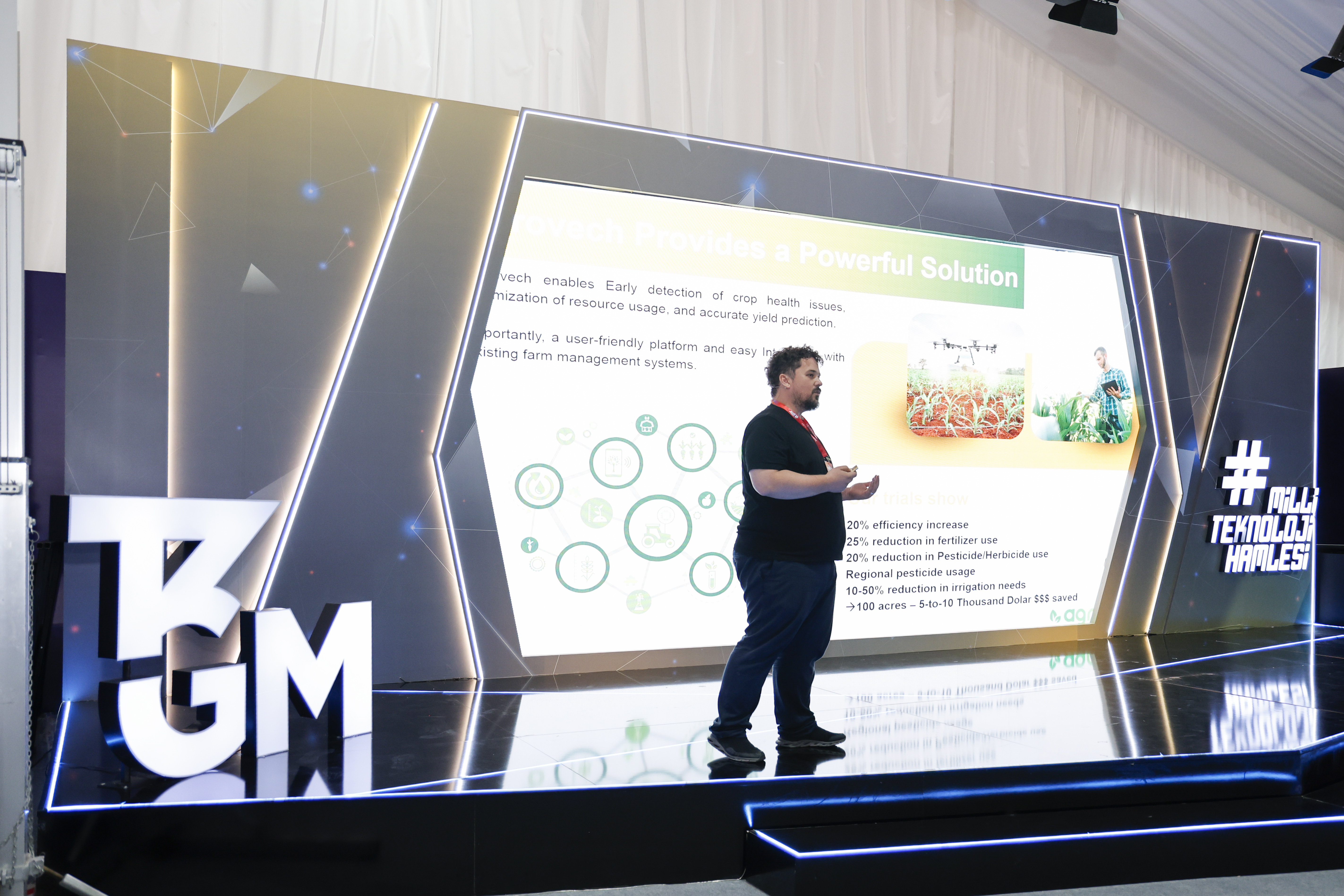
By successfully completing the T3 Entrepreneurship Center program, we accelerated our product development, business model, and scaling journey. Mentorship and field feedback helped us make the platform more actionable.
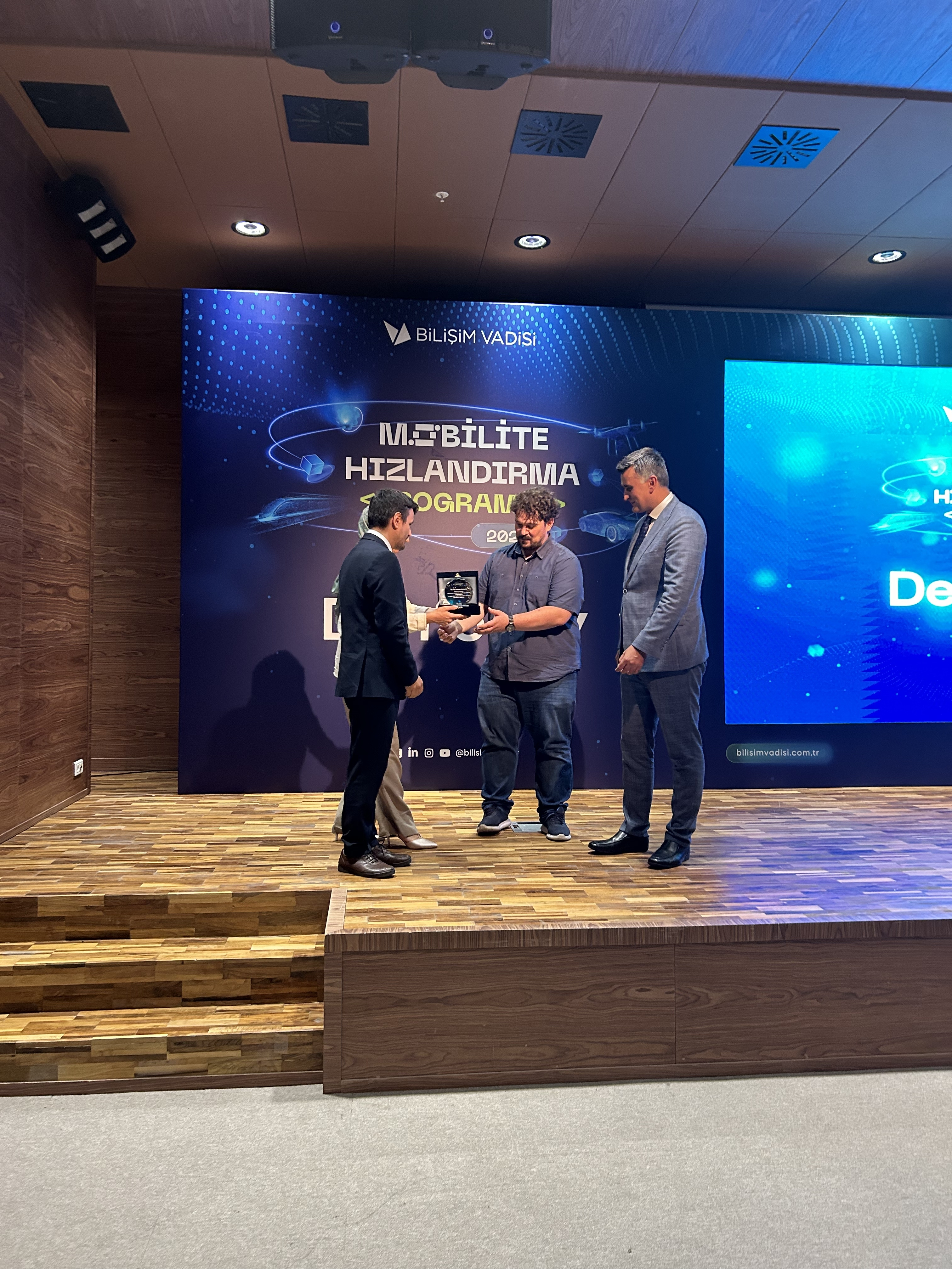
Being selected in the “Most Innovative Seed Technology” category at Agri Plus 2024 validated our innovation approach. This award highlighted the impact of our solutions that bring data into real-world agricultural operations.
We turn traditional practices into data-driven strategies to help farmers make better decisions.
Monitor your land from space with high-resolution satellite data and observe changes in near real time.
10 m · S2-L2A · every 3–5d
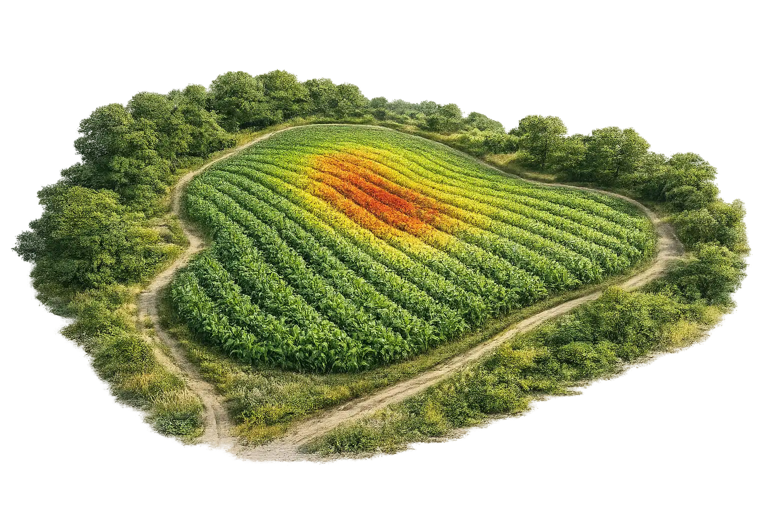
Use vegetation indices to pinpoint fertilization and spraying zones and reduce costs.
NDVI 0.28 → 0.86
Blend weather and soil signals to increase harvest yield by up to 30%.
+30% · GDD 1,950
Track crop development with centimeter-level 3D maps and high-detail drone imagery.
2 cm/px · 3D RGB+NIR
Detect water stress earlier and irrigate only where it is needed.
ET₀ 4.1 mm · 6-day window
Get timely alerts for disease and pest risks and respond faster.
stress 6% · live
Weekly & daily satellite analytics
Early stress-zone detection
Plant counting & density analysis
High-res health mapping
Variable-rate prescription maps
Zone segmentation for inputs
Microclimate, humidity & temp
Real-time in-field data
Agrovech is a hardware-free precision agriculture platform that provides field monitoring, plant health (NDVI) analytics, yield estimation and variable rate application (VRA) maps using satellite imagery, drone data and AI. It is based at Sakarya Teknokent, Turkey.
No. Agrovech works without any hardware; you simply draw your field on the map. Analyses run automatically on satellite data, and results are delivered via the web platform, PDF reports and WhatsApp. Optional IoT weather stations can be added.
Crop-specific seasonal packages exist for wheat, corn, sunflower and olive groves. NDVI-based health monitoring, water stress analytics and VRA maps work for all field crops.
Pricing is transparent and per decare: weekly satellite monitoring starts at 35 TRY/decare and daily monitoring at 55 TRY/decare. Drone analytics are priced per image; enterprise and cooperative solutions are priced per project.
TarımGPT is Agrovech's AI assistant on WhatsApp. Farmers receive field analysis results and can ask questions like 'Should I irrigate this week?' in natural language.
Agrovech works with farmers and cooperatives as well as municipalities, seed companies, agricultural insurers and banks. The TEKNOFEST award-winning platform is a graduate of the T3 Entrepreneurship Center and EIT Digital programs.
TakeawayThe report turns satellite data into actionable steps for your field.
View Sample PDF Report