DIGITIZE YOUR FIELD IN 3 STEPS
Integrating Agrovech technology into your field is easier than it looks.
Sign Up & Log In
Create your free account on the Agrovech platform in seconds and log in. Everything is ready to digitize your field.
- Instant web access
- Secure and fast sign-up
- User-friendly interface
Find Your Land & Digitize It
With the Turkey Land Registry integration, click your land on the map or enter Province/District/Block/Parcel to auto-fetch boundaries. Select your soil type and create your field.
- Auto boundaries via block/parcel
- Click-to-select on the map
- GeoJSON import support
Choose the Right Service
Your field is now in the system. Activate the service modules that fit your operation—satellite monitoring, drone verification, season tracking, weather, and more.
- Optional module selection
- Satellite & drone activation
- Customizable dashboard
Step-by-Step Platform Guide
Learn how to navigate the system without getting lost in menus.
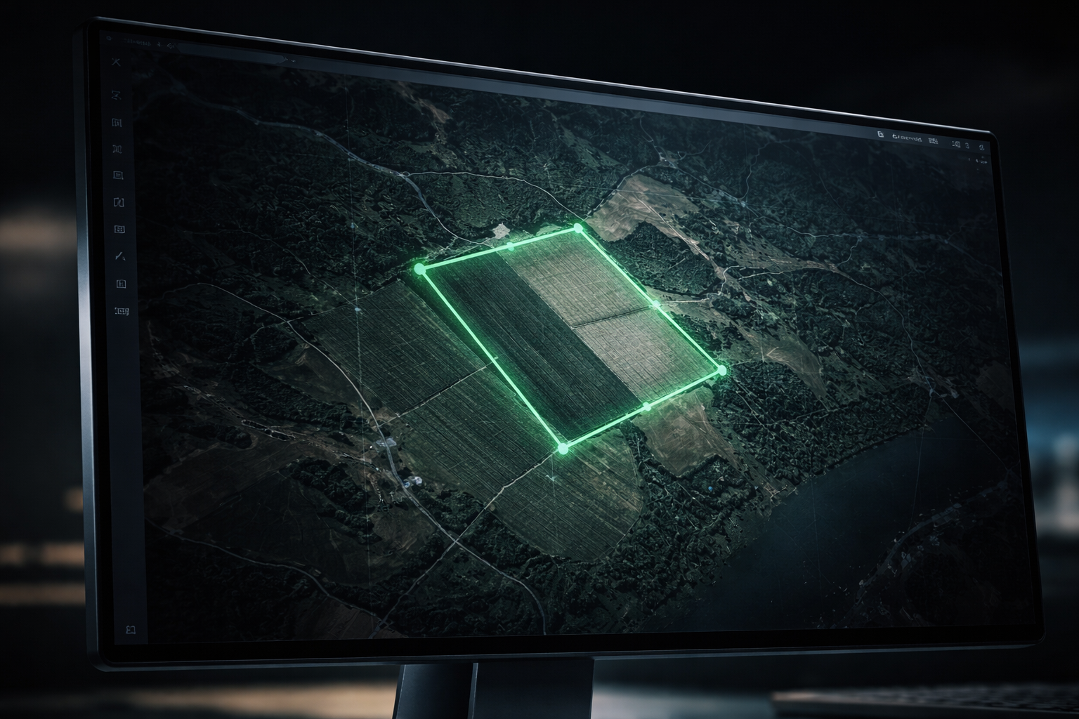
1. Field Management & Boundary Drawing
After logging in, your first step is to digitize your field. With our Land Registry integration, you can automatically create boundaries by entering your block/parcel number or clicking directly on your land on the map. You can also upload your own GeoJSON coordinate files with one click and start managing your digital field by selecting your soil type.
Pro Tips
Import GeoJSON or KML topographic files directly via drag-and-drop.
For large operations, you can name multiple parcels and group them under a single farm/workspace.
Training Videos
Learn by watching UI details and usage scenarios.