Turn Agricultural DataInto ActionableDecisions with AI
Everything you need on one screen. Monitor your production from anywhere with AI-powered risk analysis, satellite tracking, and micro-diagnosis tools.
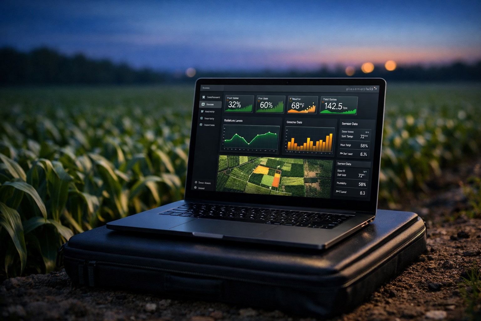
Customized Solutions
Crop-Specific Analyses
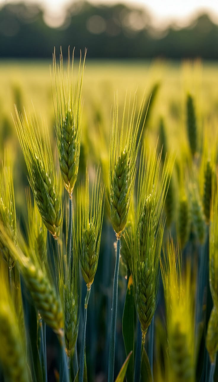
BARLEY
- Heading Development
- Tillering Tracking
- Drought Risk

SUNFLOWER
- Plant Density
- Head Development
- Oil Yield Tracking

WHEAT
- Emergence & Uniformity
- Protein Quality
- Lodging Risk Analysis
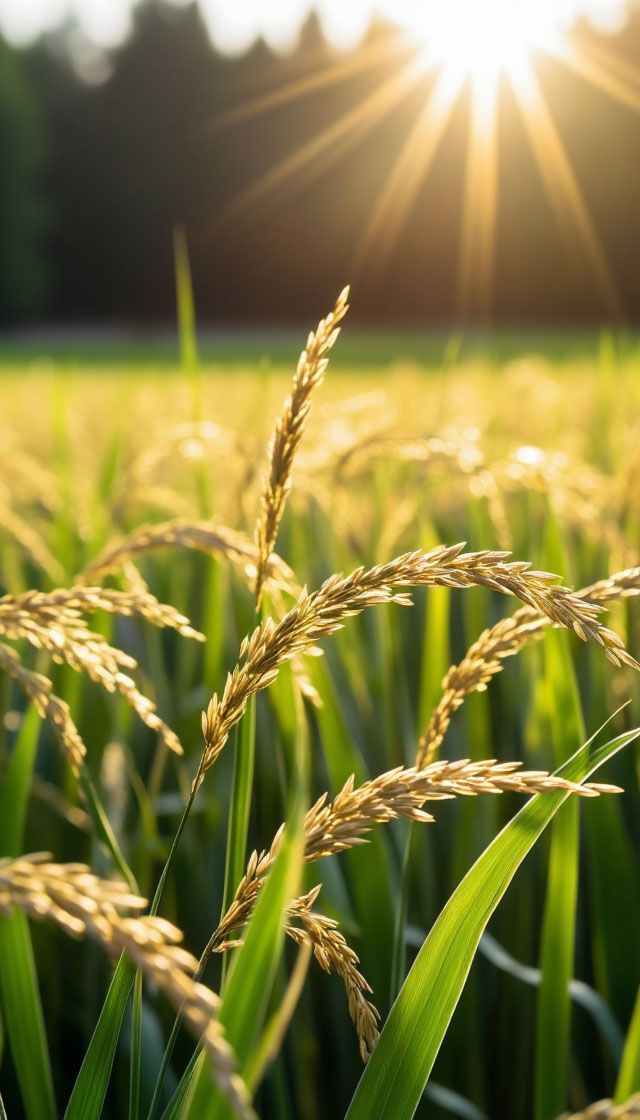
RYE
- Growth Tracking
- Cold & Drought Stress
- Parcel Uniformity
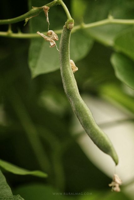
BEAN
- Emergence Success
- Leaf Health
- Irrigation Monitoring
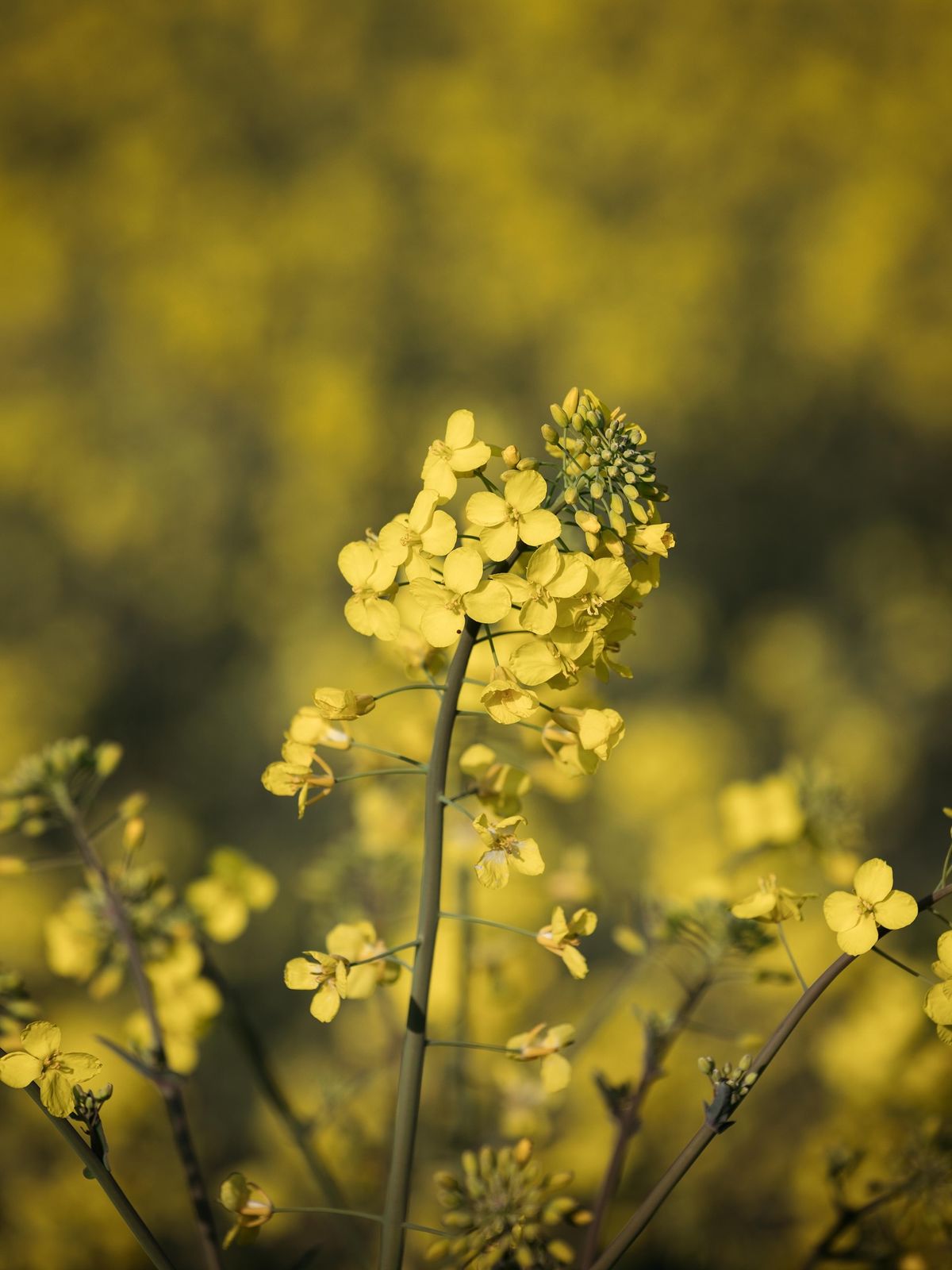
CANOLA
- Emergence Density
- Flowering Tracking
- Nutrient Stress Analysis
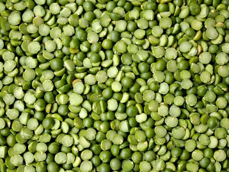
LENTIL
- Emergence Uniformity
- Drought Stress
- Growth Performance
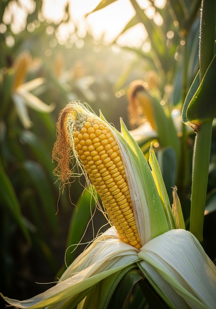
CORN
- Plant Counting
- Tassel Development
- Water Stress Detection

COTTON
- Plant Density
- Boll Development
- Fiber Quality Tracking
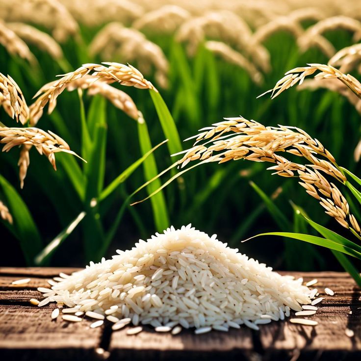
RICE
- Water Management
- Tillering Tracking
- Yield Potential
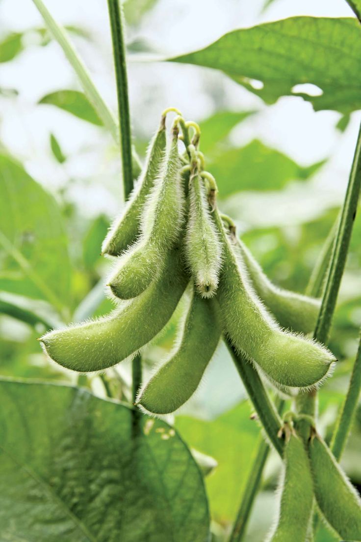
SOY
- Emergence & Density
- Pod Development
- Nitrogen & Stress Tracking
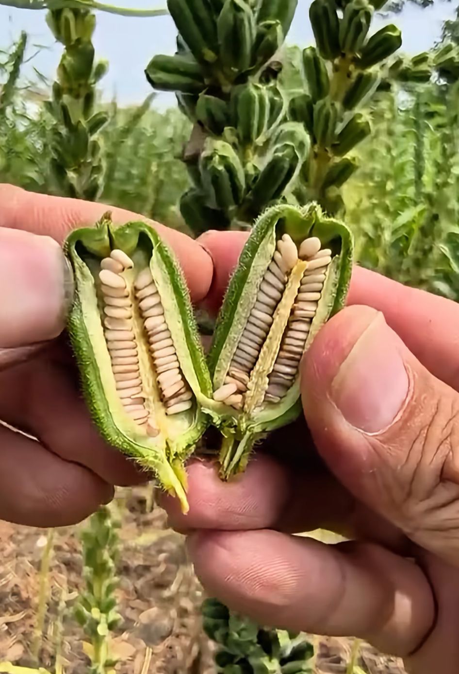
SESAME
- Flowering Tracking
- Drought Analysis
- Maturity Monitoring
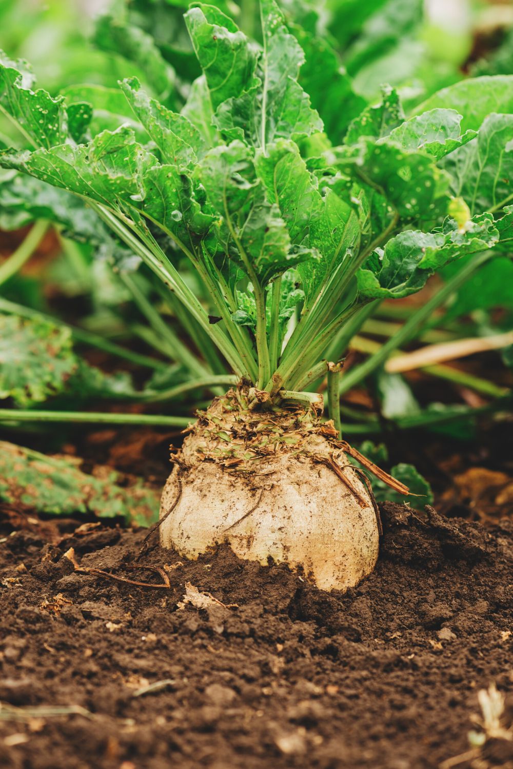
SUGAR BEET
- Plant Counting
- Root Development
- Yield Zoning

OAT
- Emergence & Growth
- Lodging Risk
- Moisture Status Analysis
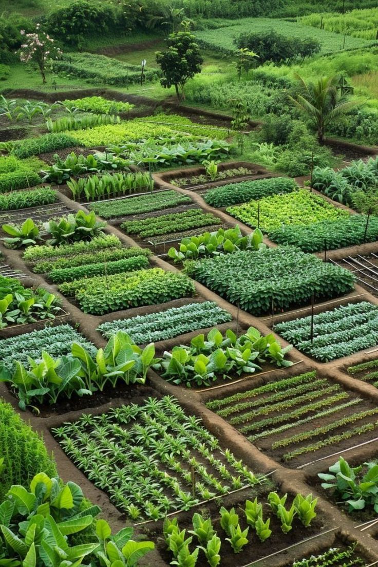
OTHER CROPS
- Crop-Specific Analysis
- Parcel-Level Monitoring
- Seasonal Decision Support.
One Platform: Satellite Monitoring · Drone Analysis · AI Support
Turn Field Data Into Decisions That Work On the Ground
Take your crop-specific analytics further. With Agrovech's integrated modules, build a digital map of your field and manage agronomic and financial processes from a single center.
ENVIRONMENTAL SUSTAINABILITY
LOW-CHEMICAL AGRICULTURE
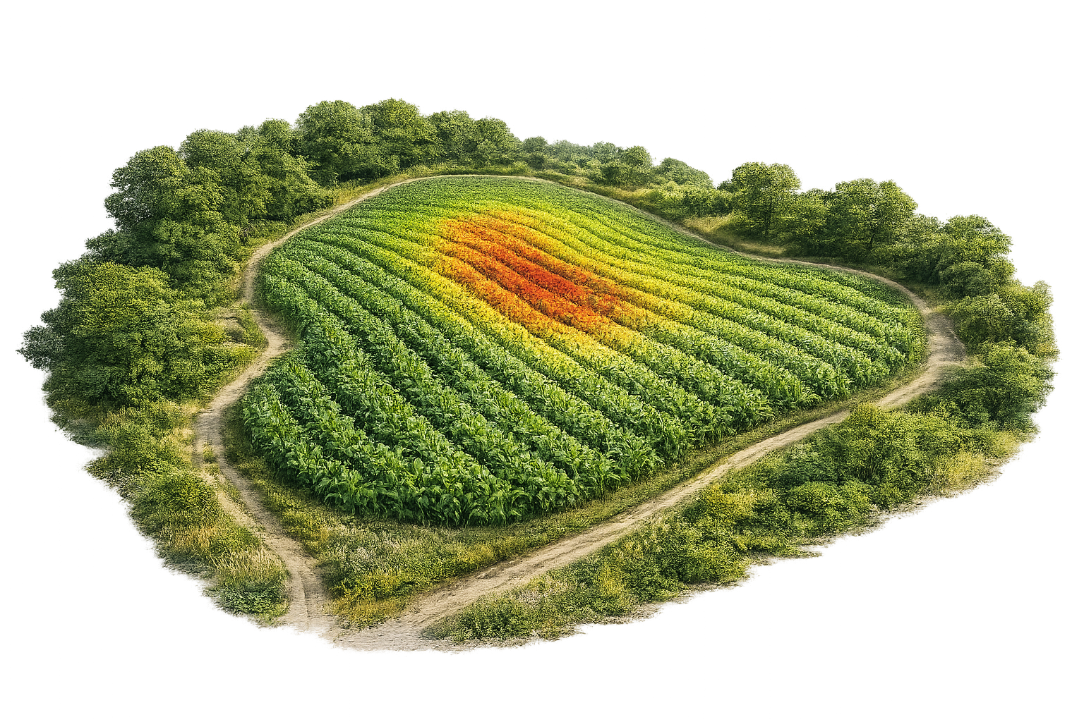
Low-Chemical Agriculture
Fewer chemicals, right time, right place. Lower input costs and minimize environmental impact through the Monitor → Diagnose → Intervene → Verify cycle.
INTEGRATED DECISION SUPPORT
INTEGRATED RISK & DECISION SYSTEMS
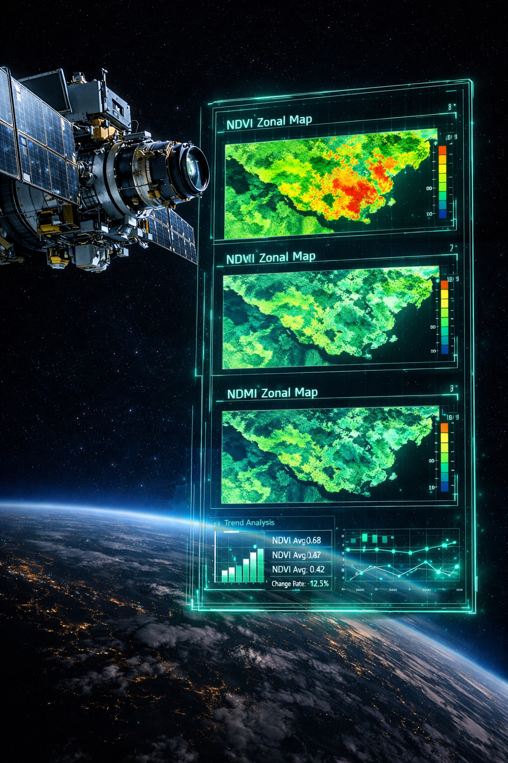
Satellite Subscription
See the problem before you go out. Bring your field's stress zones to your screen with weekly satellite imagery.
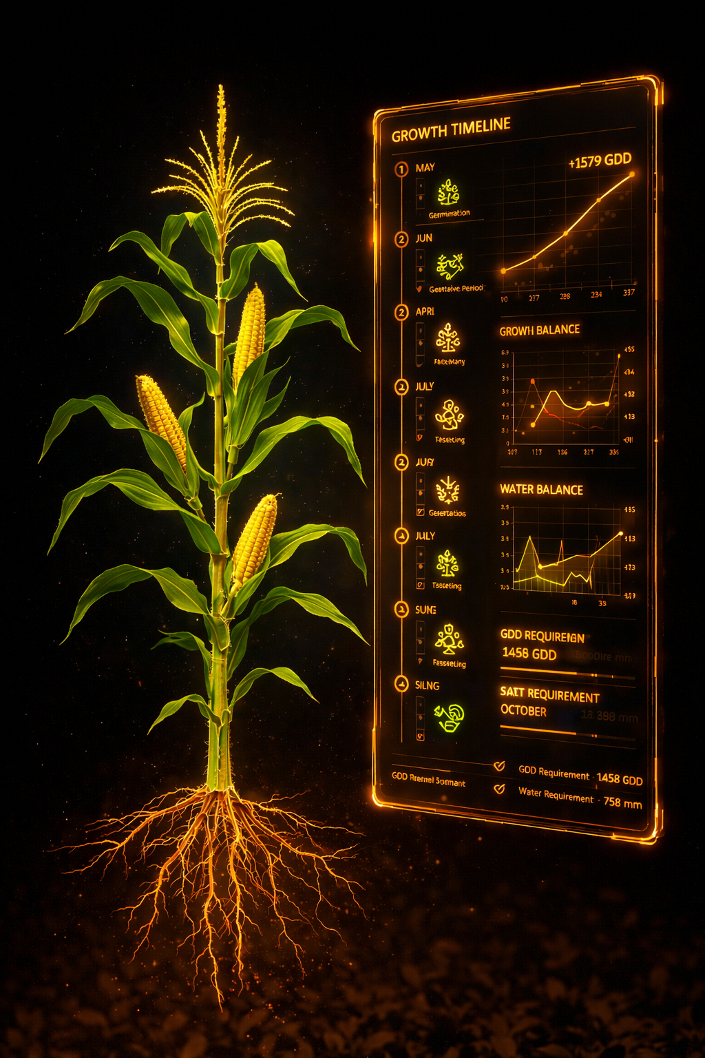
Season Monitoring Subscription
Put the season on a calendar. Weather and crop data combined for irrigation, spraying, and action at exactly the right moment.
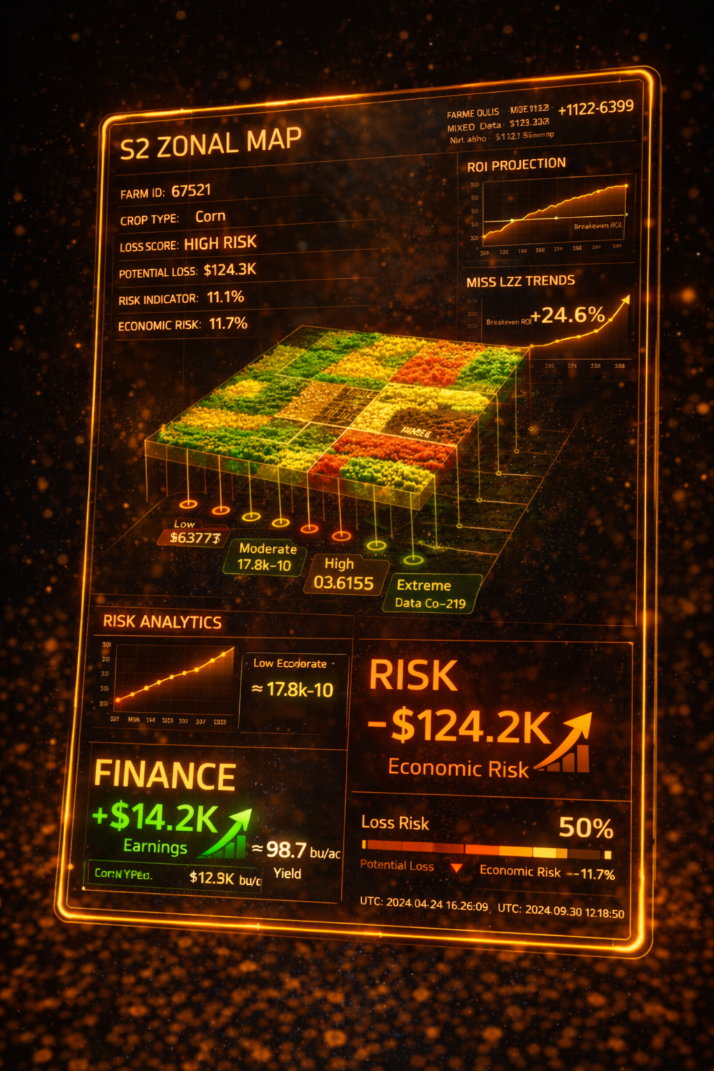
Finance & Risk Monitoring Subscription
Forecast losses before harvest. Rank risky zones by economic impact and prioritize your intervention there.
FIELD-LEVEL VALIDATION LAYER
MICRO VALIDATION & DIAGNOSIS
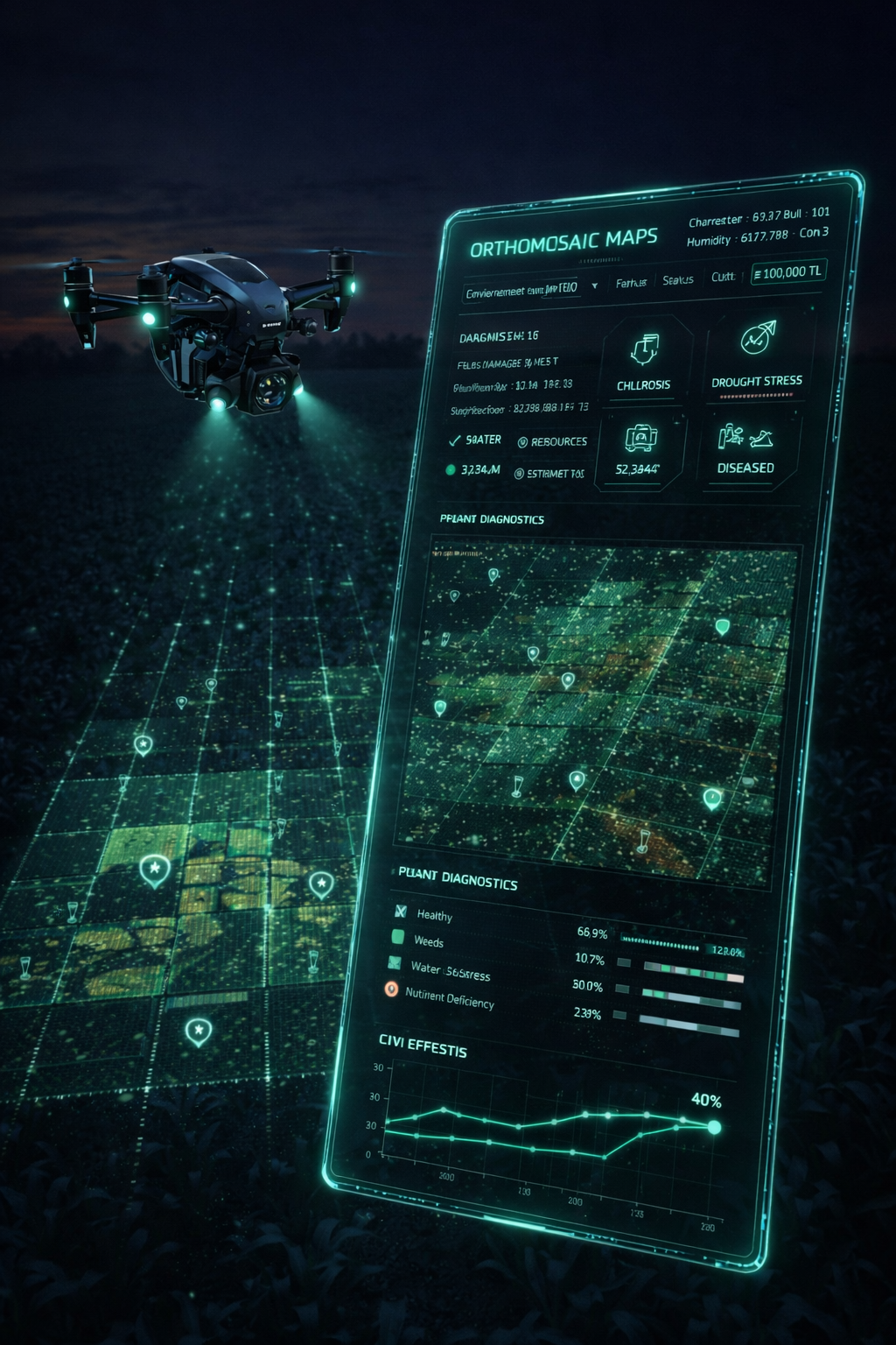
Drone Subscription
The era of searching by eye is over. Upload drone footage and let AI show you exactly where the problem is on the map.
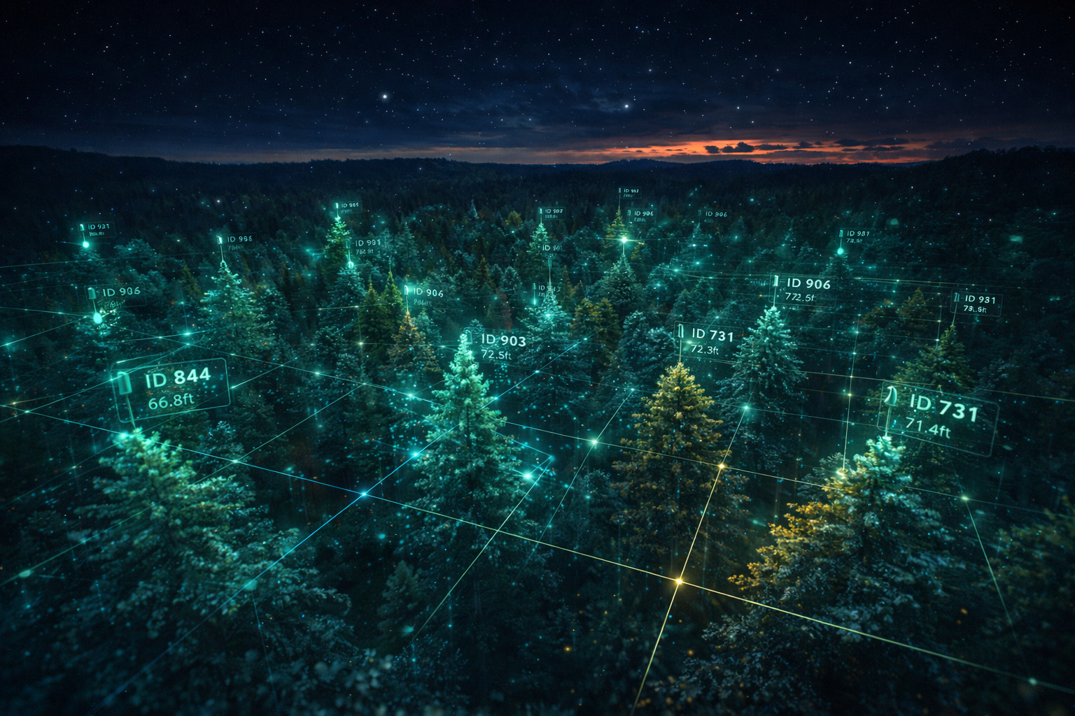
Autonomous Tree Counting & Inventory
Identify each tree one by one with AI and build your digital inventory across large areas.
Which Technology Fits You?
Agrovech offers scalable solutions based on your needs. Use satellites for regular monitoring at scale, and drones for pinpoint detail and diagnosis.
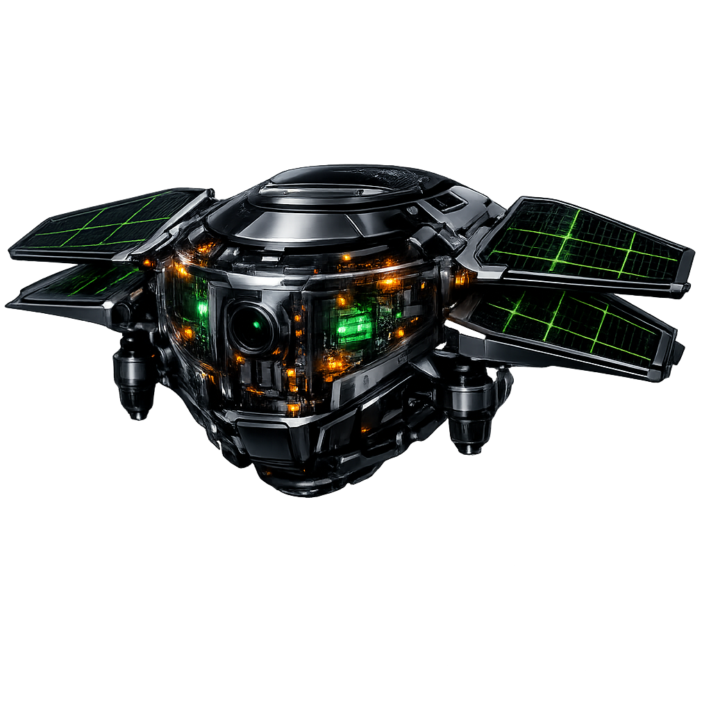
SATELLITE
Large-Area Monitoring
Regular Data Flow
Trend Analysis

DRONE
Ultra-High Resolution
Plant Counting
Local Diagnosis
Custom Analysis Reports
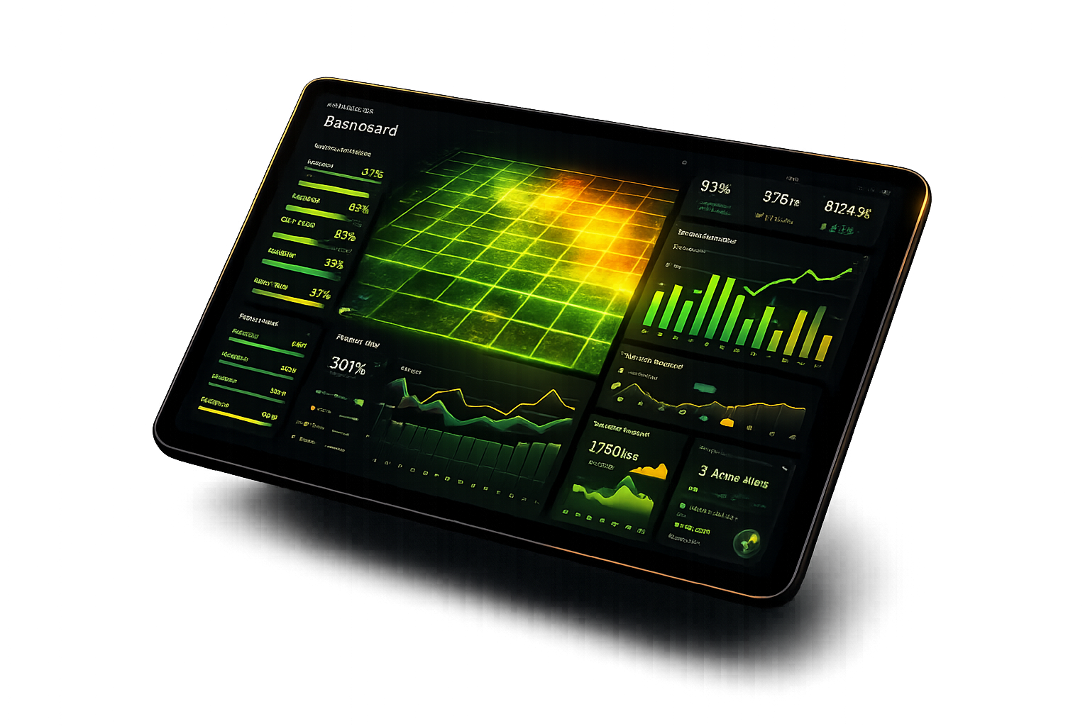
All data on the Agrovech platform can be reviewed by expert agronomists and turned into field-specific status reports. Your current field conditions, irrigation strategy recommendations, and expected yield scenarios are delivered to you as a professional PDF.
- Technical interpretation of growth maps
- Yield comparison with historical season data
- Zoning recommendations for input optimization (fertilizer/spraying)
Our Other Technology Solutions
AI Automation
We design and integrate automations to accelerate company processes. By automating repetitive work, we streamline operations.
Call Handling
Automatic routing.
Email Workflows
Automated reply systems.
Social Media
Posting automation.
Chatbot
24/7 customer support.
Smart Urban Solutions
We bring Agrovech’s computer-vision capabilities to cities for monitoring urban areas and preserving natural environments.
Parks & Gardens
Green space protection.
Land Use
Change detection.
Urban Monitoring
Transformation tracking.
Wildfire
Early detection systems.