Farming in Your Pocket: Smart Agriculture with Drone & Satellite Analytics
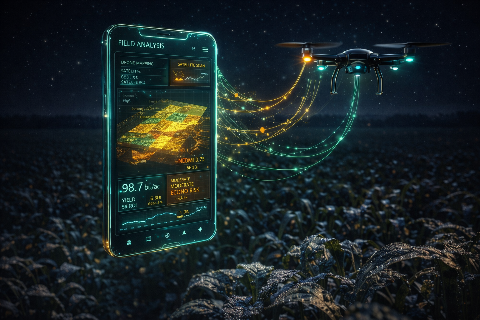
Making decisions in agriculture often sits on the fine line between “reacting too late” and “intervening too much.” Drone and satellite data make that line clearer with evidence, while AI turns the evidence into action quickly.
Satellite imagery reveals the overall situation and stressed zones across large areas, while drone data provides centimeter-level detail. With indicators like NDVI, you can monitor crop health, detect anomalies earlier, and optimize resource use.
The goal of the “Farming in Your Pocket” approach is not to leave reports on a shelf, but to deliver field-ready recommendations: irrigation/nutrition optimization, early disease alerts, yield forecasting, and continuous monitoring throughout the season. The result is higher yields with fewer resources and more sustainable production.