Monitoring Water Basins from Space: What a Silent Eye Reveals
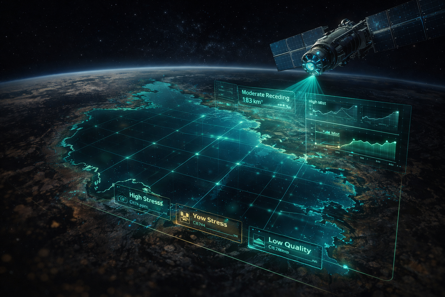
When walking along a lake shore, you can sometimes notice the retreating waterline with your own eyes—yet basins often change “silently” on a weekly rhythm. Satellite time series are the key to tracking this silent change in a consistent and comparable way.
Using sources like Sentinel-2 and Landsat, you can monitor water extent and shoreline (NDWI/MNDWI), surrounding vegetation moisture/stress (NDMI), and proxies for water quality such as turbidity and chlorophyll-a. The strongest approach relies not on a single image, but on a consistent time series with cloud handling and corrections applied.
For institutions, value lies as much in “sharing” as it does in “finding”: alert thresholds, clear alarm messages, and GIS integrations (e.g., WMS/COG/STAC) connect analysis to dashboards and operations. Agrovech continuously improves this pipeline—satellite → analysis → alert → report—supported by field validation.