ADVANCED INDEX & TREND ANALYSIS
Satellite Subscription
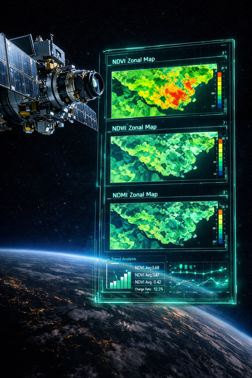
How Does the System Work?
Agrovech Satellite Subscription automatically processes multispectral satellite imagery to create measurable zone maps and continuously monitor crop health and stress dynamics at parcel scale. Beyond baseline indices like NDVI/NDMI, it uses SAVI, OSAVI, and similar indices to reduce soil influence and capture canopy density changes more reliably.
With time-series monitoring, you don’t just look at a single image — you read trends, deviations, and recovery/decline curves, making within-field variability visible early.
Result: it turns your field from “overall good/bad” into a decision dashboard that answers what is happening where.
Key Features
Weekly and daily monitoring options
Soil-adjusted indices like SAVI and OSAVI
Trend analysis for recovery and decline curves
Early detection of zone-level growth differences