CM-LEVEL PRECISION + ORTHOMOSAIC + AI FIELD ANALYTICS
Drone Subscription
How Does the System Work?
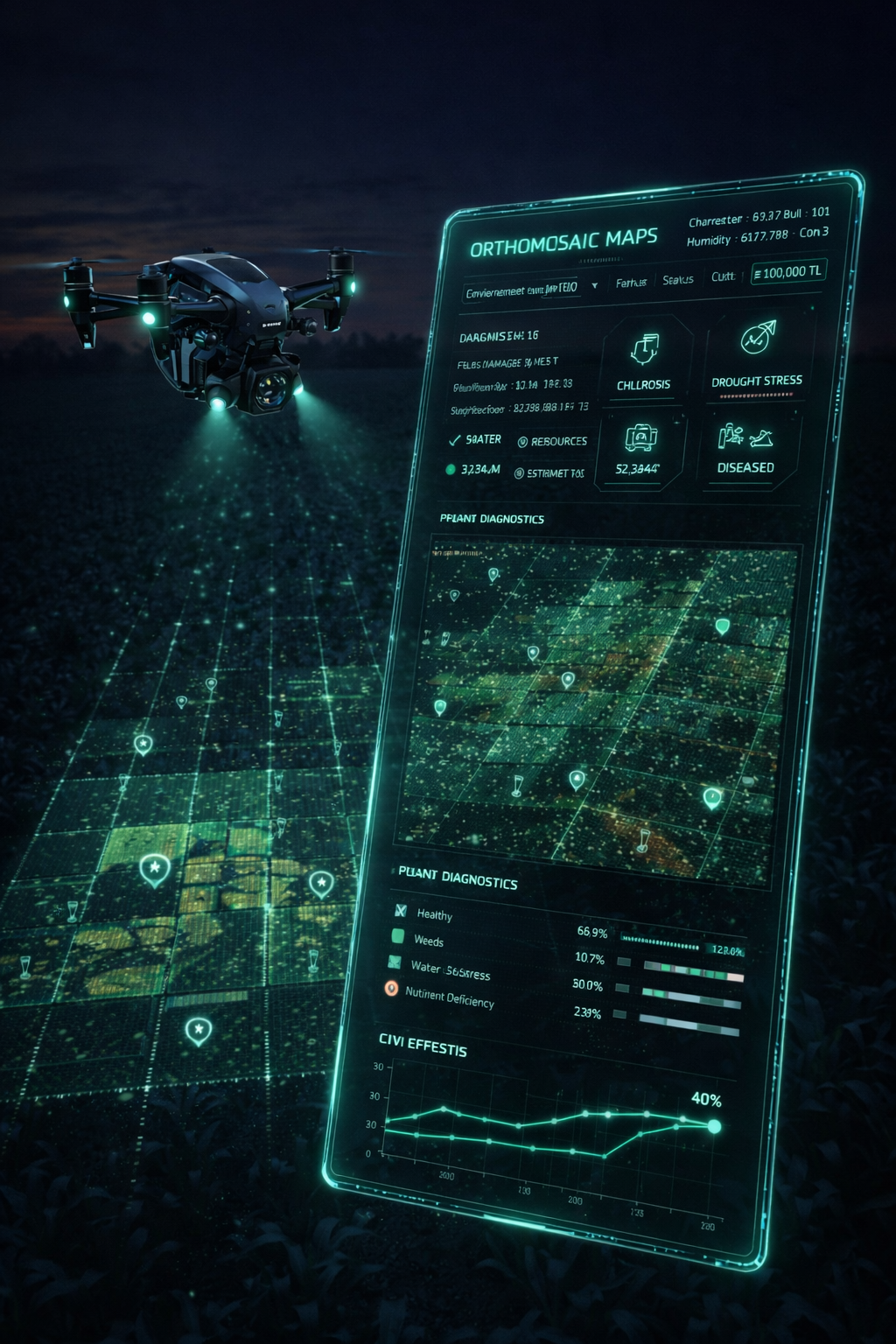
Drone Subscription brings the field down to “close-range validation” by letting you upload cm-level imagery to Agrovech. The system creates an orthomosaic (orthophoto) from uploaded flights and then uses advanced image processing and AI to convert micro variability within the parcel into measurable outputs.
By combining the satellite’s “macro zone” view with the drone’s “detailed diagnosis” power, it produces counts, density, missing-area detection, and symptom-based findings. Instead of “searching by eye” on-site, you get targeted checks on a map: where counts exist, where density drops, and where symptoms cluster.
Key Features
Plant Counting & Row Integrity
Missing plants, uneven emergence, gap clusters, row drift.
Weed Density
Patchy increases, edge-band invasion, competition zones.
Growth Heterogeneity
From color/tone and texture differences: weak-growth islands and local stress zones.
Nutrient & Water Stress
Visual symptoms: chlorosis, tip burn, uneven wilting, reduced canopy shading.
Leaf Damage / Pest Traces
Chewing patterns, holes, skeletonization, uneven leaf loss, reduced canopy closure.
Disease Findings
Spot patterns, blight traces, spread form (focus-to-edge expansion), discoloration.
Phenological Counts
Tassel counting, sunflower head counting, cob/head density approximation.
Mechanical / Operational Effects
Tractor track crush, spray-strip errors, irrigation-driven irregular growth lines.
Lodging & Wind Damage
Lodging direction, lodging intensity, and damage-zone boundaries.